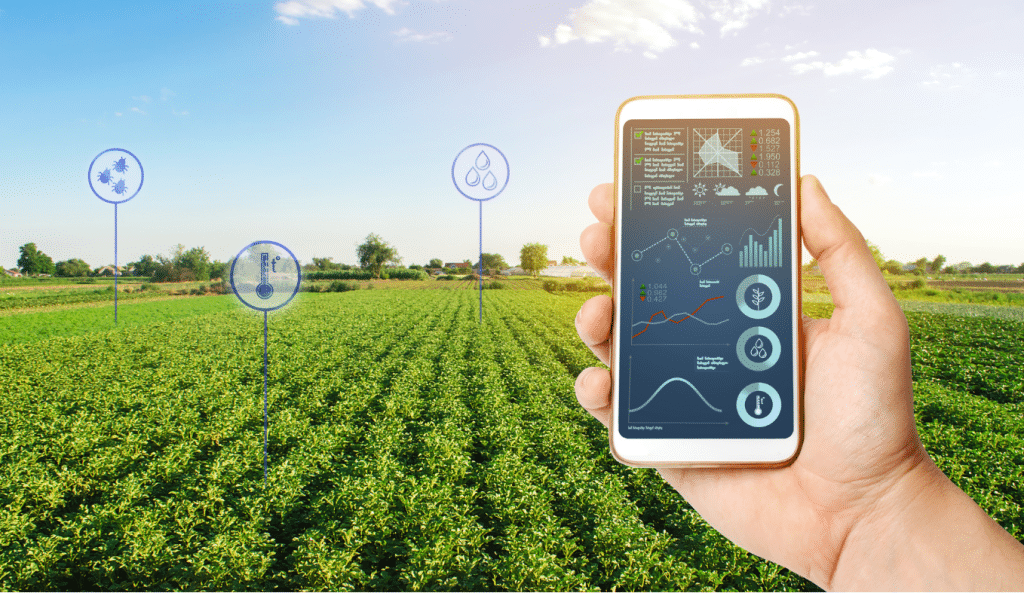
With the projects Op-Peil and Digistuw we want to investigate how weirs and level-controlled drainage affect the water table in agricultural plots. To this end, we placed measuring sensors in and around plots of some participating farmers in Bocholt. Those sensors are connected to a digital measuring platform that the farmers can read directly.
We would like to demonstrate this measurement platform to you and discuss what it can mean for the farmer in times of drought and flooding. What data can you read? What does this mean for plots close by and those far away? Is there coordination with meteorological data? What will this be in the future?
Practical
- Location: Research and Training Centre for Agriculture Kaulillerweg 3, 3950 Bocholt
- When: Tuesday, July 2, 2024 - 11h30 to 14h00
- Contact: Maarten Raman (0473 22 40 65) or Stef Keppens (0470 02 35 83)
We offer sandwiches for lunch. Not hungry either? Then confirm your attendance via the button below
This study afternoon has been made possible by
Partners digistuw

Partners On Level


